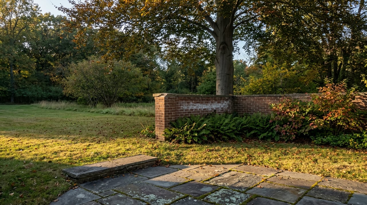
Walk behind the houses on Sherier Place or cross Galena Place at the right spot and you'll find it: a grassy, half-forgotten lane threading through backyards, under a tree canopy, along a right of way the District has owned since streetcars ran on it. Most guidebooks call it a hidden gem. Regular users call it something closer to an obstacle course, muddy after rain, blocked by fallen bamboo in places, missing a bridge in one spot entirely. Either way, it has been the subject of public meetings, feasibility studies, and neighborhood petitions for the better part of five decades, and as of last fall it was still exactly where it started: in "planning."
That word, planning, is doing a lot of work. It means the District Department of Transportation has not committed to a design, a budget, or a timeline. It also means the argument that has defined this stretch of the Palisades since the 1970s isn't close to over.
A Streetcar Line That Never Became Anything Else
The Palisades Trolley Trail follows the old Glen Echo Trolley line, the streetcar route that once ran from the Georgetown Car Barn out to Glen Echo and the Cabin John Bridge. Service stopped in 1962. What was left behind was a long, narrow, unused rail bed, and neighbors treated it accordingly: some stored boats and campers on it, others used it as an informal dump. The property owner eventually fenced it off, which only prompted more complaints, and by the mid-1970s the District had begun looking at buying the corridor outright for a trail. A 1976 Washington Post article on DC's Long-Term Bicycle Transportation Plan penciled in a bike route running the length of the old rail bed all the way to Glen Echo.
It didn't happen. In 1981, a close vote at the Palisades Citizens Association shelved the plan, and the right of way went back to being what it had been for years: an unofficial walking path that residents used because it existed, not because anyone had built it for that purpose.
The Study Nobody Finished
The current round started with a bridge. The Foundry Branch Trolley Trestle Bridge, the only trolley-era bridge still standing on this line, sits inside the historic Glover-Archbold Park and had fallen into disrepair serious enough that preservation groups raised alarms about its potential demolition in 2018. That concern is what pushed DDOT to commission a formal feasibility study, this time for the whole corridor, not just the bridge.
The study ran through 2019. DDOT collected 499 responses to an online community survey and another 162 comments through a public mapping tool, held meetings in Georgetown and the Palisades, and produced a full concept design package by December 2019, followed by a decision letter in January 2020. Then the project went quiet for years, the kind of quiet that, on a government trail project, usually means stalled rather than resolved.
It surfaced again in the fall of 2025. At a community meeting on September 30 of that year, DDOT confirmed the project remains in the planning phase, meaning no funded design, no construction schedule, nothing beyond the 2019 study sitting on file. That single clarification was enough to reactivate the neighborhood's oldest argument.
Two Price Tags, One Right of Way
What's actually being argued over is not really grass versus asphalt. It's two very different amounts of money attached to two very different visions of what this corridor is for.
| Option | What it does | Estimated cost |
|---|---|---|
| Full trolley trail rebuild | Paves and formalizes roughly three miles of corridor, rebuilds the Foundry Branch Trestle Bridge and adds new bridges elsewhere along the route | $15 million to $20 million, according to the Trolley Trail Preservation Group |
| Capital Crescent Trail Connector | A short, separate link from Arizona Avenue giving Palisades residents direct access to the existing Capital Crescent Trail, a paved trail already in daily use less than a hundred yards from parts of the corridor | $560,000, according to the same group |
The preservation group, which says it represents more than 430 Palisades residents and had already run three organized work parties with 58 volunteers within a few months of getting started as of last fall, is using that gap to make a specific argument: why spend a decade and tens of millions of dollars building a parallel paved trail when a fraction of that money could connect residents to a paved trail that already exists. It's a fair question, and it's one that doesn't require taking a position on whether the trolley trail itself should ever be paved.
The case for the full rebuild predates this group by years. Advocates who organized under the name Friends of the Trolley Trail in 2019, including neighbors Chris Hart and Amy Del Solar, argued that the corridor's real value is connectivity that the Capital Crescent Trail can't replace on its own: a route usable by a parent with a stroller, a child on a bike, or someone using a cane, running directly through the neighborhood rather than skirting its edge. Del Solar pointed out at the time that four schools sit along the corridor, and that with DC pursuing its Vision Zero traffic safety goals, a safe, car-free route mattered for kids getting to those campuses without navigating Canal Road on foot or bike.
Both arguments are locally reasonable. Neither one, on its own, explains why the cheaper connector project hasn't simply gone forward while the larger question gets sorted out.
What the Trail Actually Touches
Whatever happens to the corridor's surface, it's worth knowing what it currently connects, because that's the part unlikely to change regardless of the outcome.
- The Georgetown Reservoir, a 40-acre Army Corps of Engineers reservoir from the late 1800s, runs along one side of the trail near MacArthur Boulevard
- Walking northwest from the reservoir, the trail reaches Canal Road and Reservoir Road near Fletcher's Cove and the C&O Canal towpath
- From that same point, a turn north leads into Battery Kemble Park
- The corridor continues northwest into the Palisades proper, ending near Galena Place at roughly three miles from its Georgetown end
- The Foundry Branch Trestle Bridge sits within Glover-Archbold Park, a designated historic resource in its own right
None of that requires a resolved trail debate to be true today. It's already how residents use the space, informally and, in the trestle bridge's case, with a detour required because the bridge itself is currently unsafe to cross.
Grass vs. Pavement Isn't Really the Argument
Here's the part that gets lost in the yard signs. The preservation group's case for keeping the corridor unpaved leans on specific environmental claims, that native fireflies and roughly 80 percent of bee species nest in soil that a paved surface would displace, and that the Palisades already registers as one of the cooler parts of the city on NOAA's heat mapping because of its tree cover and lower paving footprint. The group also points to flooding in July 2025, which it says made the front page of the Washington Post, as evidence that adding impervious surface a block from where runoff already caused damage doesn't make sense. Those are the group's own claims, made in service of an argument for no change at all beyond volunteer-led cleanup.
The pro-trail argument, by contrast, has always been about access rather than aesthetics: a usable route for kids, for strollers, for anyone who can't manage a muddy, unbridged, occasionally impassable path.
Set those two cases side by side and the disagreement isn't really about whether pavement is good or bad. It's about whether the corridor's job is to stay a quiet, informal green space behind people's houses, or to become formal neighborhood infrastructure. DDOT's own planning process has never forced that choice, because the cheap, uncontested option, the Arizona Avenue connector to the Capital Crescent Trail, addresses the access argument without touching the environmental one. It's sat on the table through years of debate over the larger rebuild. It's still there.
What to Watch Next
The most concrete thing to track is DDOT's own project page, which lists a contact for the trail effort and any scheduled meetings. Given that the September 2025 meeting only reconfirmed the planning phase rather than advancing it, the next real signal will be whether DDOT schedules a follow-up meeting or moves toward funding either the connector project or the larger rebuild. Neither side of this argument has the standing to make that call alone, and neither has yet.
For now, the trail behind your house is still the trail behind your house: unpaved, occasionally muddy, missing one bridge, and argued over by neighbors who, whichever side they're on, clearly aren't going anywhere.
If you're weighing what a home near the corridor is actually worth to you day to day, from the walk to Battery Kemble to the quiet of a dead-end block backing onto public land, that's the kind of neighborhood-specific read Ethan Carson builds his work around. Explore the Portfolio to see how that local detail shows up in the way he presents Palisades listings.